(in progess...)
Massachusetts isn't really the sort of place you would expect to have strong tornadoes, but around 7pm on Memorial Day in of 1995 an F3-F4 tornado tore through Great Barrington, MA.
Damage pictures:
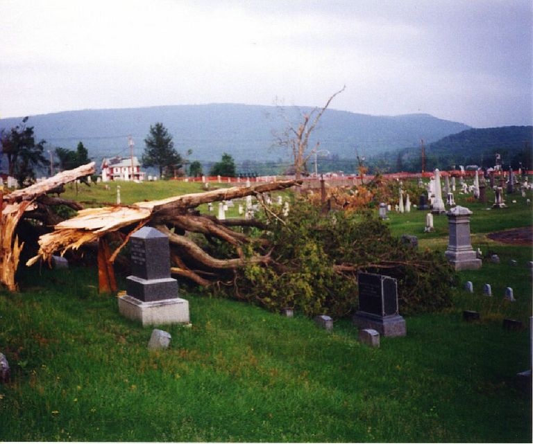
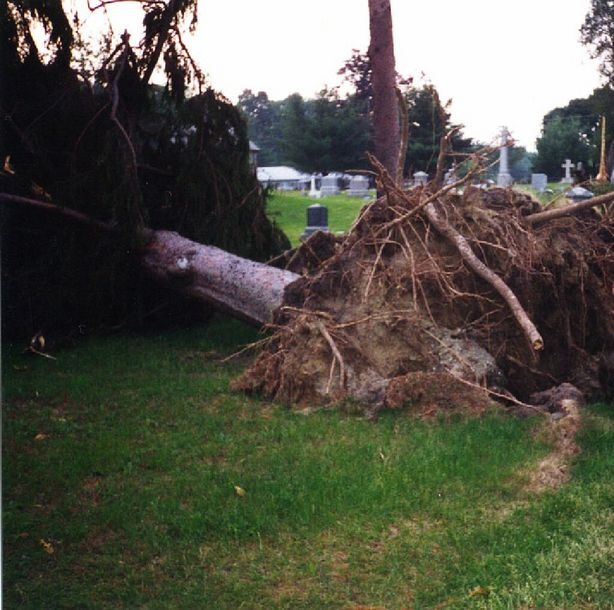
, flattening the Fairgrounds, killing 3 people, and injuring 12.
This, and other strong tornadoes in New England, have inspired research into the relationship between tornadogenesis and local terrain. Meteorologists found that the north-south orientation of the Hudson and Housatonic valleys, which Great Barrington is in between, increase lower level wind shear when the surface wind is southerly. This increases the likelihood of tornadoes forming in a local "Hot Spot" extending from Hudson valley, NY to Berkshire County, MA and Litchfield County, CT. (Local Tornado Hot Spot)
Radar This link has some radar images showing the tornado formation:
SUNY Albany Studies the 's page95 Tornado
Research Paper on this, and other New England tornadoesIt even inspired a study of torandogenesis in the NE:
Terrain Influenced Tornadogenesis in the Northeastern United States: An Examination of the 29 May 1995 Great Barrington, MA, Tornado
Official Tornado Stats:
NCDC Event Details
A couple pictures of the damage: