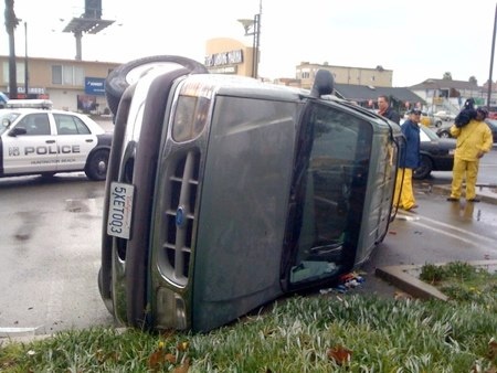
This afternoon (Tuesday, Jan 19th) Southern California experienced a fast-moving thunderstorm that resulted in very strong rotating winds and a tornado or perhaps several tornadoes.
The storm flipped cars and submerged streets. 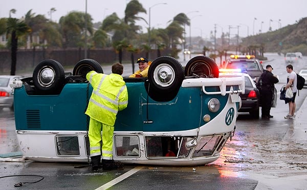
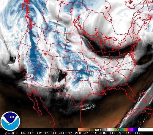
Here is a radar image from this afternoon. You can see a loop of the storm moving over California here: http://www.weather.gov/sat_loop.php?image=wv&hours=24
More information:
http://www.cbsnews.com/stories/2010/01/19/national/main6117105.shtml
http://www.foxnews.com/story/0,2933,583405,00.html
http://www.inquisitr.com/57913/tornado-long-beach/
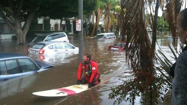
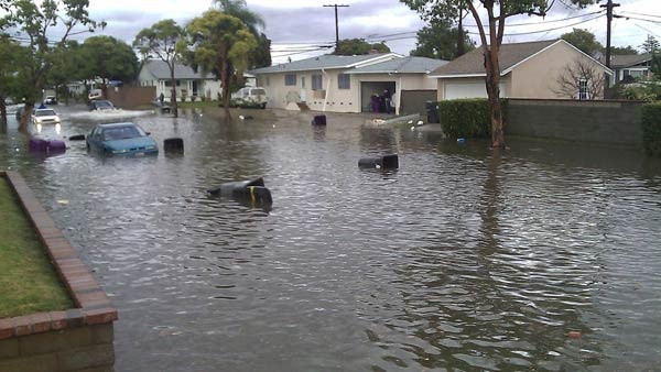
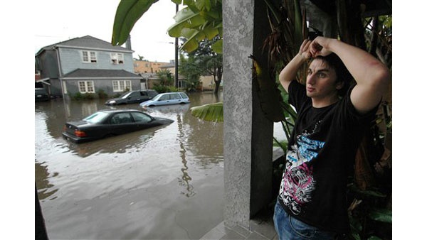
Update 1/22/10
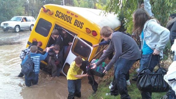
The last storm moved ashore on 1/21, with winds of 50 mph and gusts up to 70 mph. More than 1000 homes were evacuated due to mudslide and landslide concerns. Freeways were flooded, and at least one person is missing after being caught in a flooded river.
This storm was predicted to be the worst of the storms that have been hitting California this week.
A school bus, swept off a flooded road.

Radar as of 1645Z, Jan 1/22 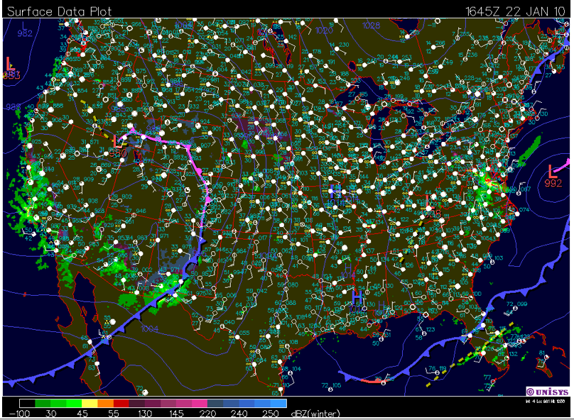
http://abcnews.go.com/US/wireStory?id=9619563
Created by Emily Krupczak