...
Image 4: 3-day Ash dispersal by arrival time for Eyjafjallajokull for actual eruption date of April 14, 2010. Shows that the plume either moves northeastward or southwestward. reaches eastward regions.
April 7-9, 2010
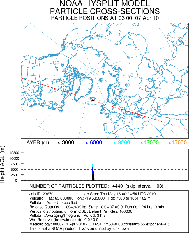
Image 5: 3-day ash dispersal simulation for Eyjafjallajokull for eruption date of April 7, 2010, a week earlier from its actual eruption date. The plume initially moves north-eastward and then south-westard. As the plume moves northward it deflects to the east and as it moves southward it deflects to the west as predicted by the rightward deflection of the coriolis force in the northern hemisphere. As opposed to the dispersal for the prior week, part of the northward plume was swept into the polar regime. In contrast to what we would expect from theoretical predictions, the plume in the polar region moved clockwise when due to the coriolis force in the northern hemisphere, we would have anticipated it to move cyclonically.
wraps around pole. reaches europe
January 1-3, 2010
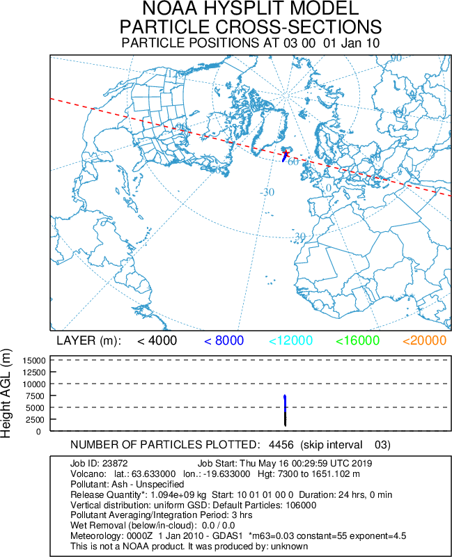
Immediately moves anticyclonically in conflict with what theory would predict about the mean flow near the north pole where the Earth's rotation has a strong influence. Additionally, the plume that moves southward deflects to the east rather than the west as the right-ward deflection from the coriolis force would predict.
...